Contact
|
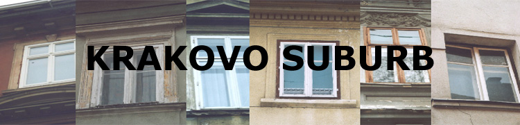
KRAKOVO ON MAPS
Following chapter of map's and plan's segments present historical overview of urban planning development of the area.
Gradual development of street networks and built structure is noticeable, especially when trying to connect to the city. Limited
location
between river and city-walls was determinating compact type of building disposition. Although the area had (it still has) typically
suburban typology and character, its urbanistic form and clear urban pattern reminds on the city patterns. Maps are serving as
important basics for understanding recent conditions and pattern logics as much as relation between open and closed space.
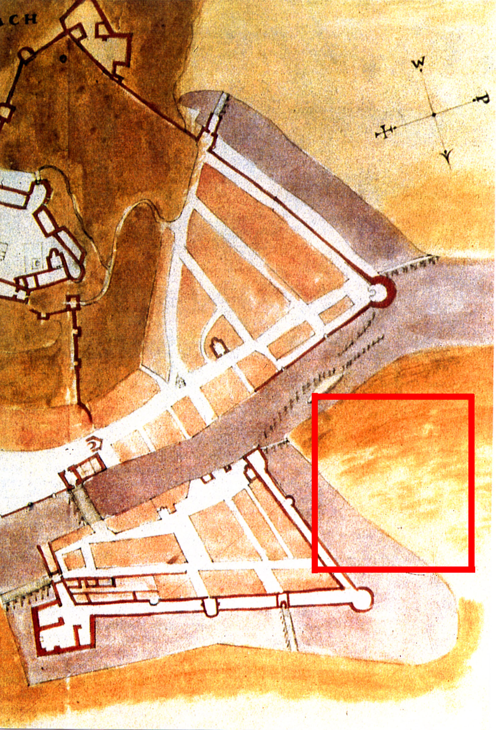
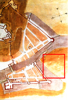
Map 1: Nicolo Angelini: Fortification plan of Ljubljana, year 1586, Karlsruhe.
Although first buildings in city suburbs already existed, they were not marked on city plans. Consequently it is difficult to compare
development of Krakovo in early stages.
|
 |
| |
|
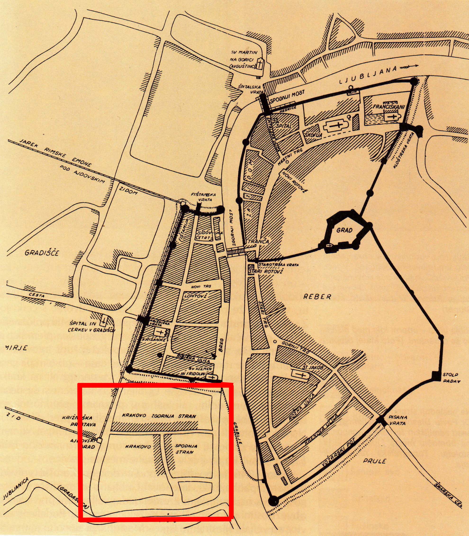
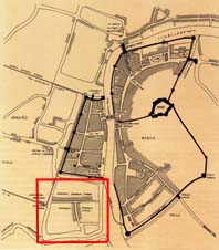
Map 2: Dr.Milko Kos, Medieval Ljubljana - triple city, 16th and 17th century. Published in:
Korošec, B., Ljubljana skozi stoletja, 1991.
City consisted of three parts surrounded with city-wall. Krakovo suburb was separated with part of wall and moat. It is noticeable
which streets in the area were formed and inhabited first.
|
 |
| |
|
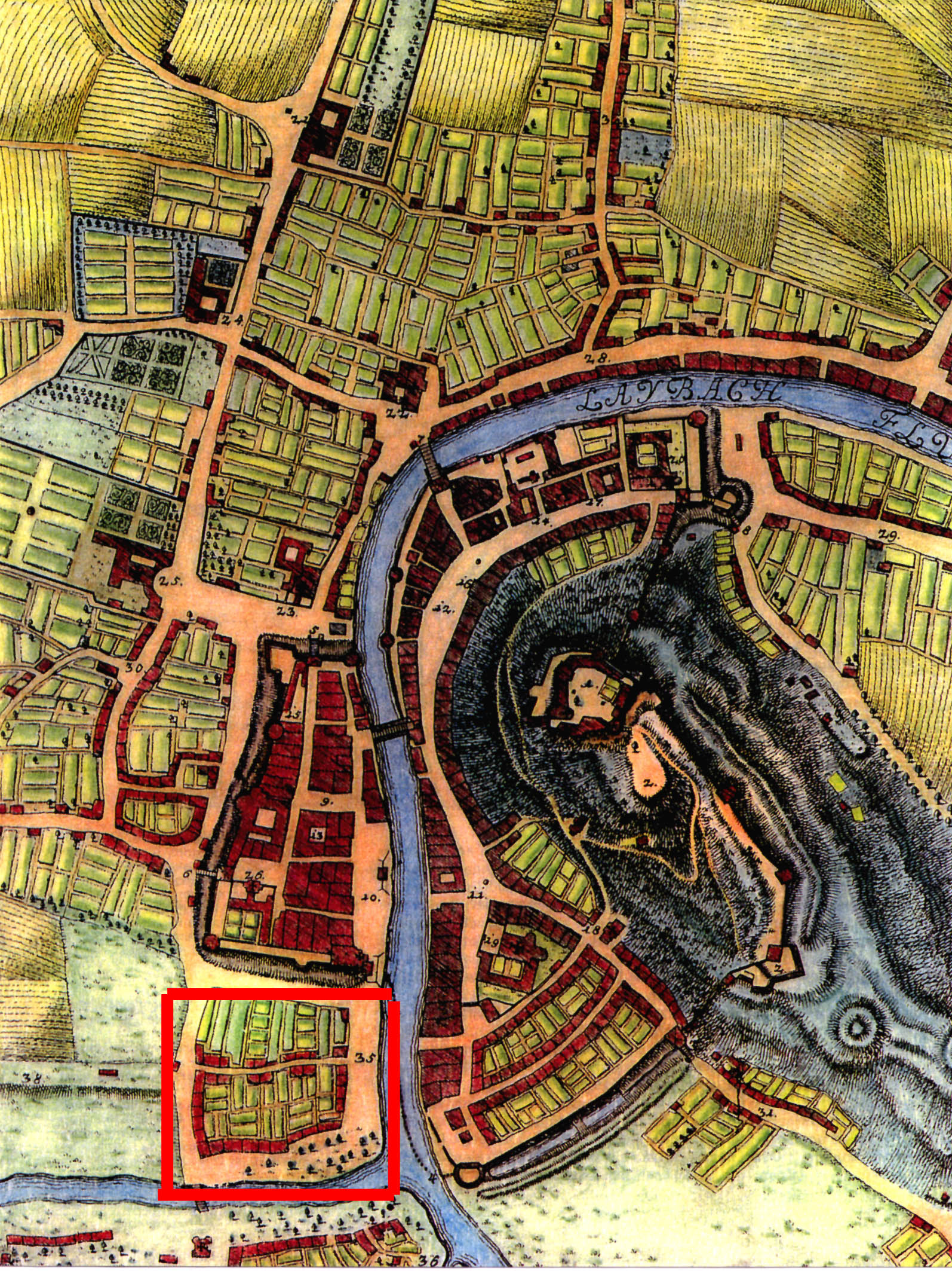
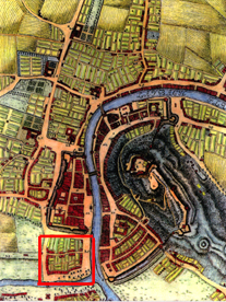
Map 3: Janez Dizma Florijančič: Tabula Chorographica Ducatus Carnioliae, 1744. Published
in: Stopar, I., Sprehodi po stari Ljubljani, 1992.
City expanded and formed, Krakovo got today.s shape. It is visible that only Krakovo suburb has planned street pattern while other
suburbs are developing more spontaneously.
|
 |
| |
|
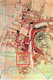
Map 4: Province building management: Plan of Ljubljana, 1827.Published in: Korošec, B.,
Ljubljana skozi stoletja, 1991.
It is one of the first detailed maps, shopping individual houses and elongated gardens. City wall has been demolished and Krakovo
could join with city.
|
 |
| |
|
|